Mongolia
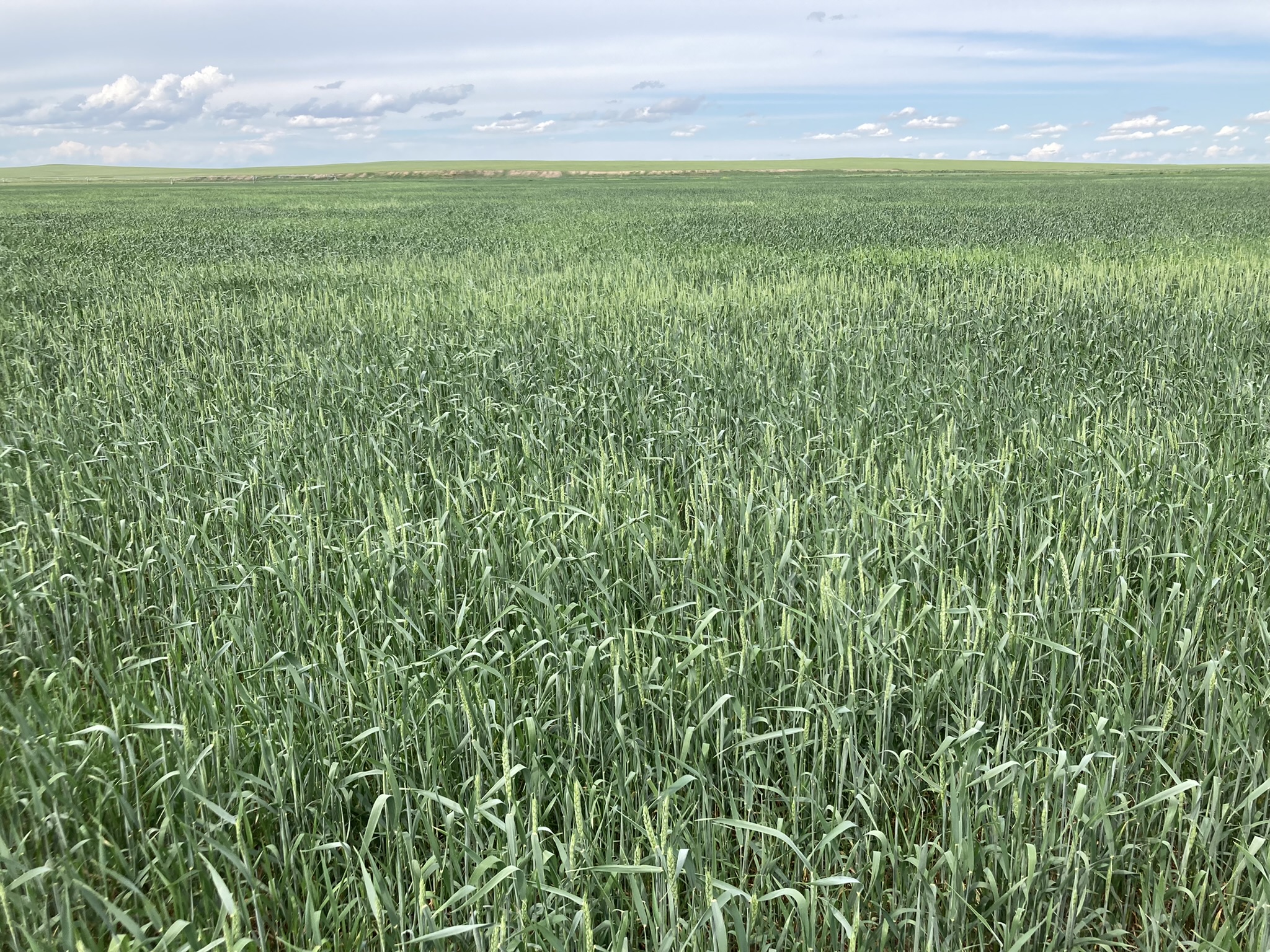
Part of the Carbon in Global Boreal and Alpine Soils Under Climate Change-Driven Land Use fellowship sampling.
Mongolia
Soils were collected from two very distinct geographical locations: in the province of Dornod near Choibalsan (a far-eastern decaying agricultural region), and in the province of Selenge near Darkhan and south of Khutul (a northern major agricultural region).
Dornod had samples for wheat (from both steppe and high-clay river-bottom), native steppe/prairie, converted steppe/prairie pasture (alfalfa), and abandoned steppe/prairie farmland. The land was mostly flat with sudden drops to local rivers or waterways with significant erosion, and scattered small lakes and ponds. Most non-wheat samples were on formerly irrigated agricultural land from the Soviet era (pre-1990), abandoned since then and reverting to native steppe. The river-bottom wheat land has been continuously farmed and irrigated since at least 1985.
Darkhan had samples for wheat, native steppe/prairie, overgrazed pasture, various tillage/herbicide weed-management treatments, and some native forest. The land was rolling with some elevation and much less erosion; most nearby crops were rapeseed/canola and wheat. This breadbasket has a weather-dome effect producing the highest summer and lowest winter temperatures in Mongolia. Forests were only found on north-facing slopes, since extra radiation on south-facing slopes causes irreversible permafrost melt and transition from forest to steppe. Soil texture ranged from sandy and loess (steppes) to heavy clay (wheat) at Dornod, and was loess with less variation at Darkhan. Sampling was performed over multiple days, with samples experiencing a delay at higher temperatures before refrigeration due to the remote locations.